Mobile Mapping
Advanced LiDAR surface surveying and high quality data capture
The Challenge
Good data is needed to understand current and futuren performance of assets, to predict their life expectancy and schedule maintenance interventions to increase serviceable life. The traditional management of roads and highway systems is expensive and time consuming. In most cases it involves a full crew equipped with expensive equipment, traffic management and despite extensive training and safety measures, putting boots onto live highways will always carry risk.
The Solution
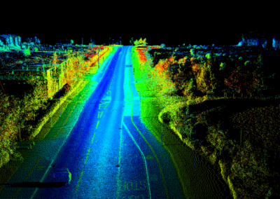
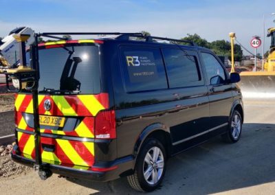
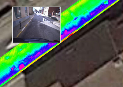
R3 Mobile Mapping Monitoring solution contains the most advanced LiDAR sensors and high definition imagery to collect the data required to build an accurate point cloud representation of the entire network and its surrounds. The point cloud data can then be processed through our cutting-edge software and record highly accurate measurements that can be used for CAD drawings.
The high quality data has a wide range of uses:
- Topographical survey
- Pavement schedules
- Asset location data
- High resolution imagery
- Highway infrastructure survey
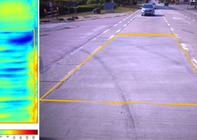
- Pavement condition survey
- Asset analysis
Benefits
- Safety as removing survey personnel from high-risk environments
- Huge efficiency savings as its a fast and cost-effective solution
- Reduced Traffic Management and minimising disruption to the public
- Absolute accuracy without the risk of human error
- Avoiding potential site revisits for missed data (office base field checking)
- High accuracy plans for design work, avoiding on-site alterations and clashes
- Both point cloud and high resolution imagery
- Less cost and risk than traditional surveying techniques
Other Services
Roads
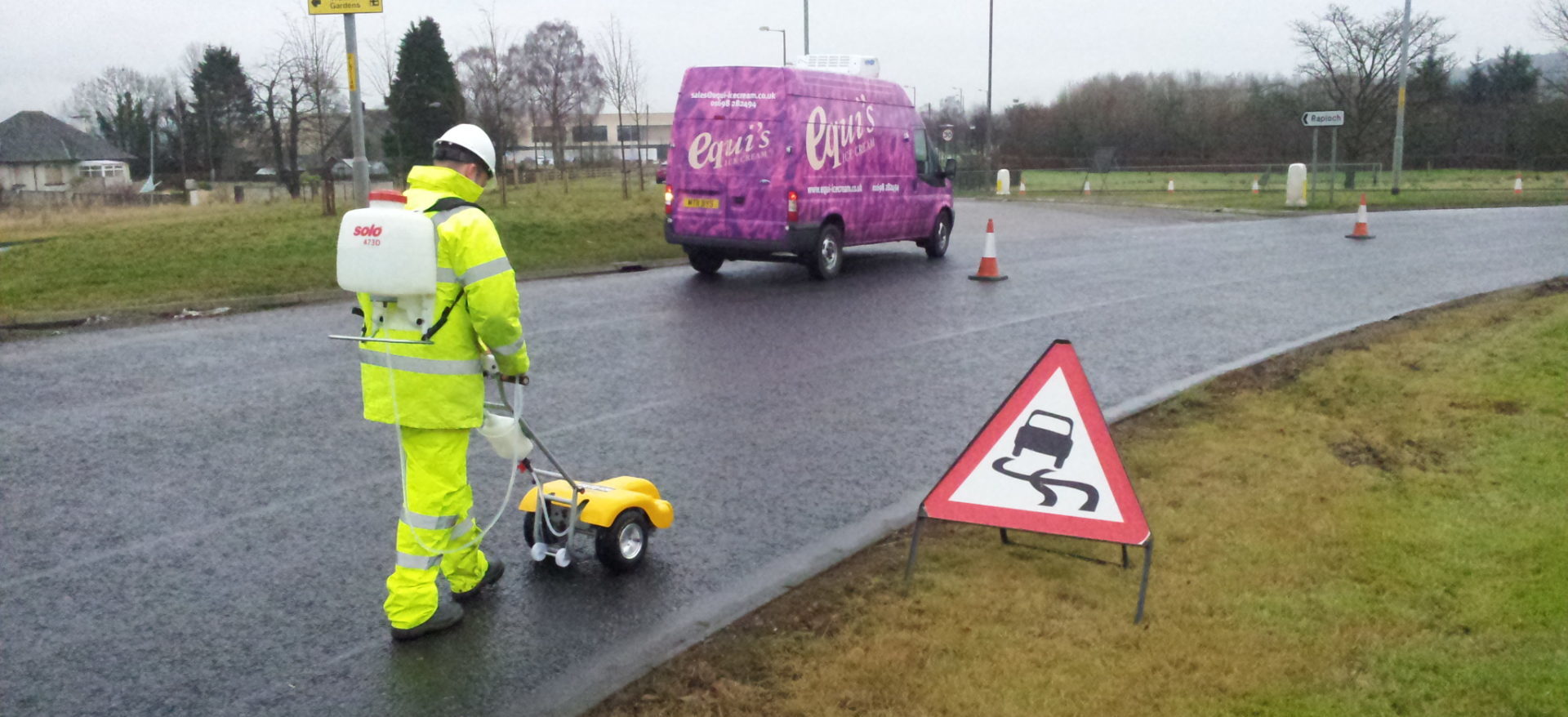
As leading academics undertaking research on road surface materials and characteristics we specialise in non-standard testing and consultancy.
Runways
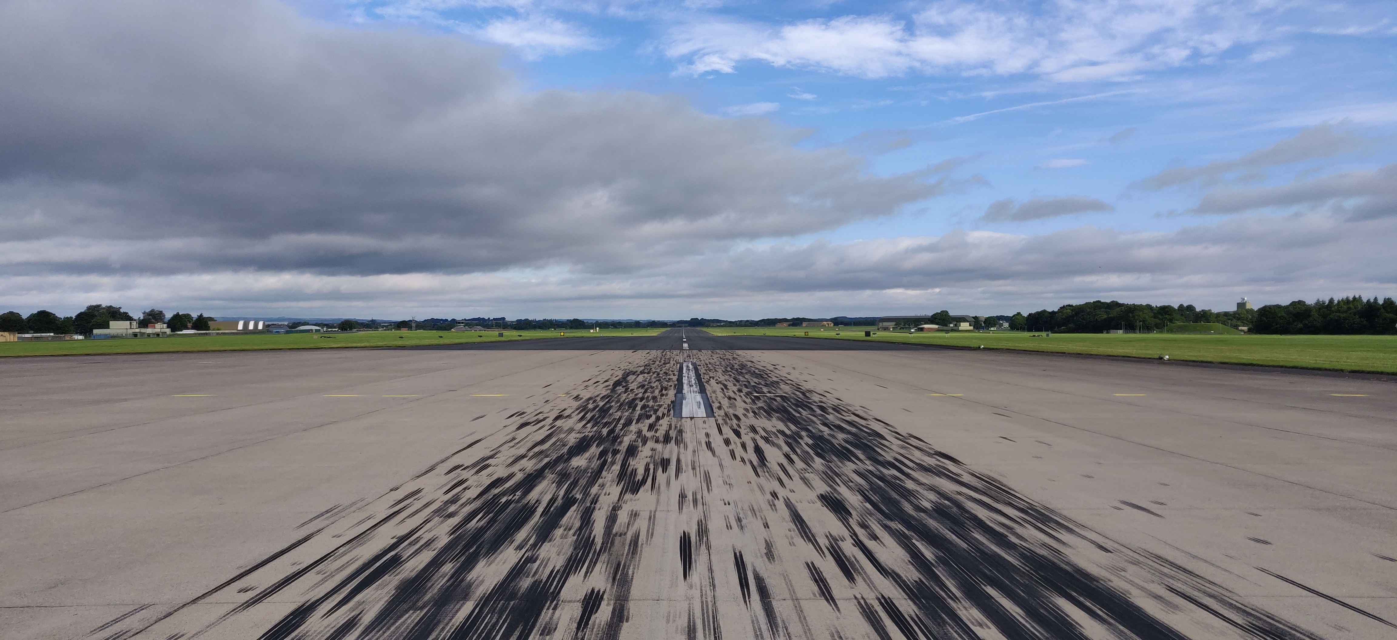
R3 provide standard testing services for airport Pavement Management Systems (PMS) as well as specialised testing for runways around the globe.
Racetracks
Contact Us

